![]()
The Blue Mountain Region of the SCCA hosts one of the two track events in the PHA Championship Series. The BMR event is held over Memorial Day weekend on the Jefferson Circuit at Summit Point Motorsports Park, Summit Point, West Virginia.
Originally, two events were held on the Jefferson Circuit, with the spring event run in the counter clockwise direction, and the fall event run in the clockwise direction. The fall event was changed to the Shenandoah circuit at Summit Point in 2016, and we currently only run one event on the Jefferson Circuit in the counter clockwise direction.
In addition, during the off season of 2013 Summit Point Raceway modified the course and added .6 mile to the configuration (see map below). The PHA began using this longer configuration for the 2014 fall event.
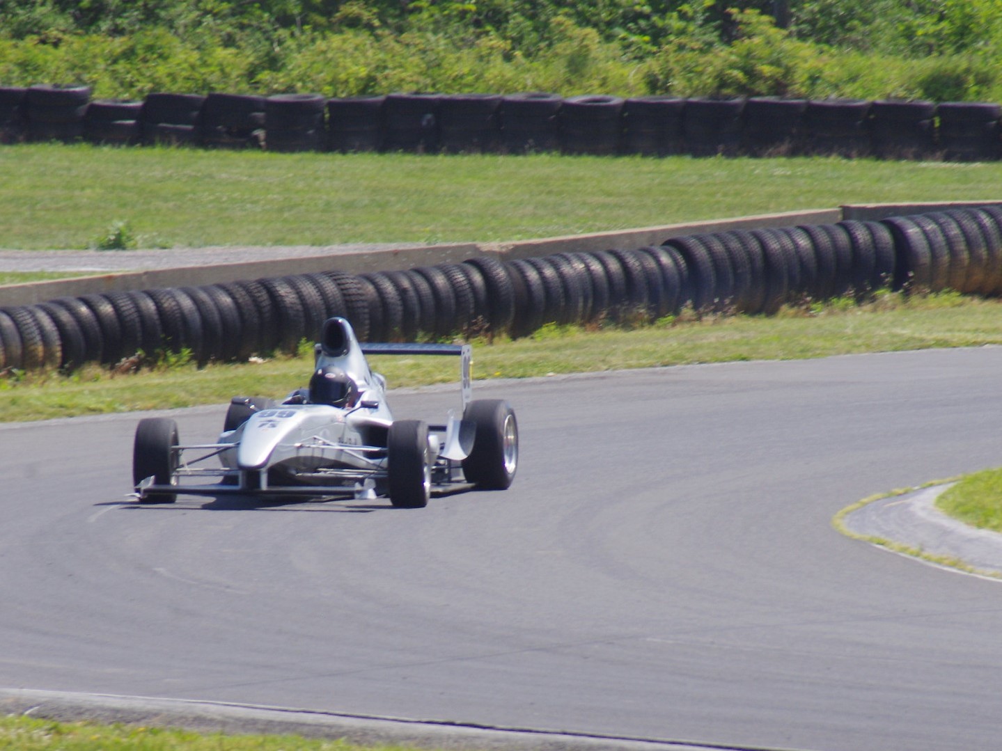
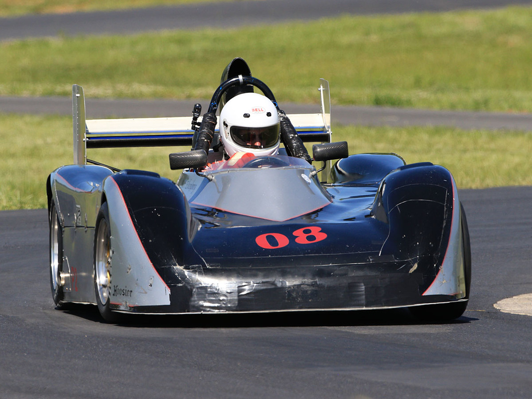
This track combines off-camber turns and compound interacting esses with increasing and decreasing radius corners. The 30-foot wide asphalt track is a definite change from the narrow uphill runs that make up the most of the years events. The extra runoff room at the edges of the track gives drivers a little more room for error compared to the hills in the series where a deviation from the paved road often involves some contact with a tree or the guardrail.
The format of the race weekend also differs from hillclimb events in the PHA Series. This event is run as an SCCA Time Attack event. Drivers are sent out in groups of 3 to make 2 timed laps for several sessions throughout the day. Passing is not allowed, but a driver will be given the opportunity to make up a lap if a catch up situation occurs.
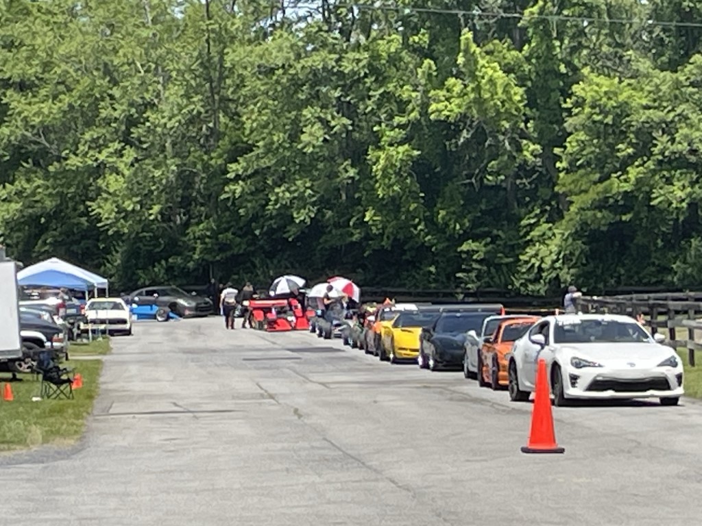
The private racetrack atmosphere and large pit area with a view of the track gives the drivers more time to watch their competitors than at a typical hillclimb. Camping is allowed, and there are restrooms available, but no electric hookup. Shower facilities are available on the Shenandoah circuit.
Location Summit Point, WV
Length 1.7 miles
Elevation Change Approximately 25'
Number of Turns 14
Course Map (click to enlarge) 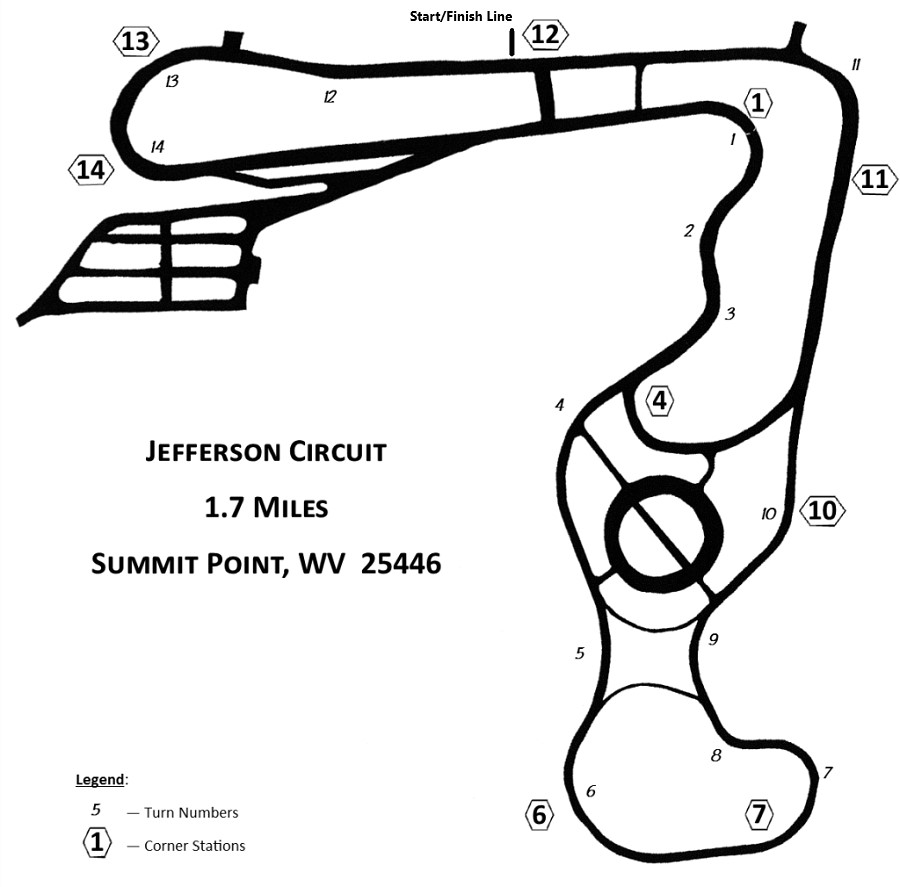
Here is a small sample of some of the excellent photos that Mike Vanino has taken over the years — see https://www.mikevaninophotography.com/ for more photos.


